Joseph Aro · BC, Canada / Lagos, Nigeria · Geospatial Intelligence · Remote Sensing · Earth Observation
From field data to executive insight —geospatial intelligence for complex environments.
I build applied geospatial systems that turn earth observation, hydrography, UAV field data, and spatial analytics into decisions that matter.
Geospatial expertise at the scale of complex problems.
I work across the full value chain of geospatial intelligence — data acquisition, earth observation, hydrography, systems design, analytics, and strategic delivery. The goal is not only to generate maps or models, but to produce intelligence that leaders can act on.
From field operations to executive insight, I work across mining, waterways, infrastructure, and environmental systems in Canada and Nigeria — technically deep enough to run complex remote sensing workflows, strategically aware enough to frame intelligence for leadership audiences.
About JosephCore Expertise
Five domains. One integrated practice.
Geospatial Intelligence
Enterprise GIS systems · Spatial analytics & data governance · Geospatial platform design
Remote Sensing & Earth Observation
Multispectral & hyperspectral analysis · LiDAR & change detection · Mineral exploration mapping
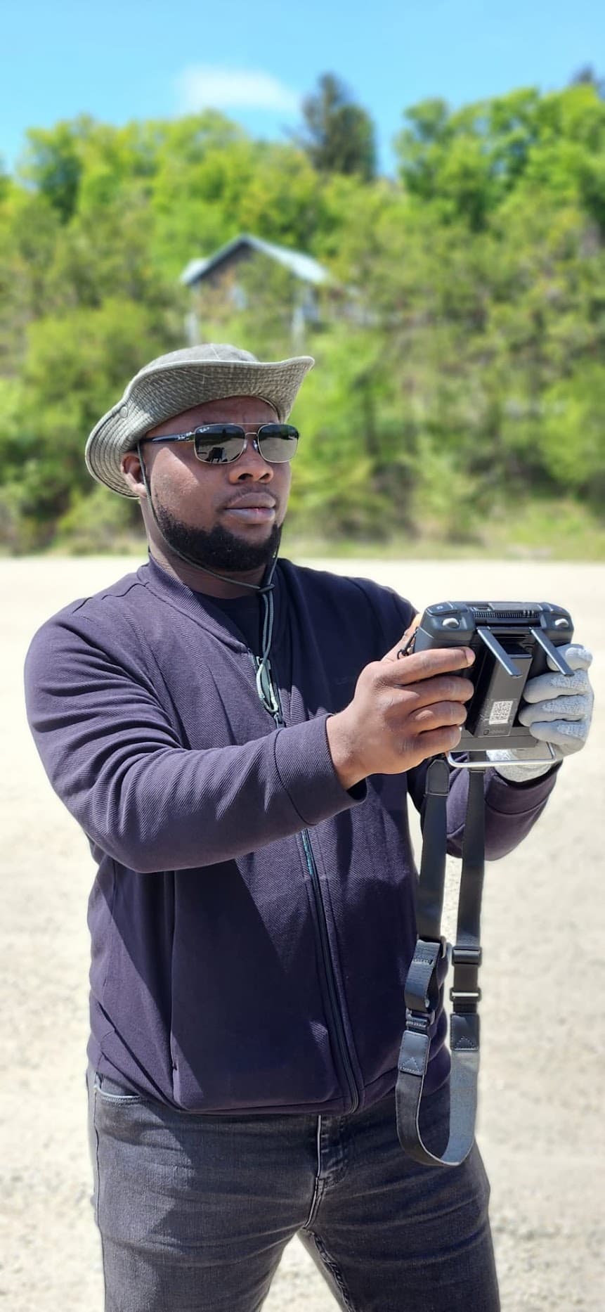
UAV & Field Operations
Large-scale drone mapping · Photogrammetry & point clouds · Licensed pilot — Transport Canada / SACAA
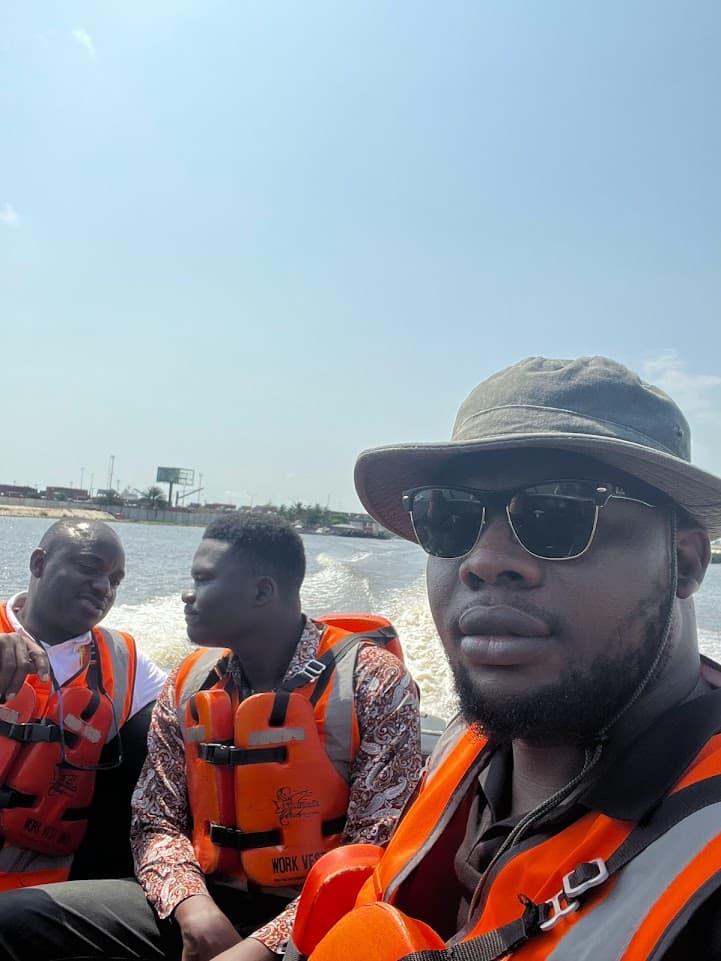
Hydrography & Waterways
Bathymetric surveys · Hydrodynamic modelling · Navigation & waterway intelligence
Data Strategy & Systems
Data governance frameworks · Geospatial transformation programs · Analytics & visualisation
10+
Years Applied Geospatial Practice
300+
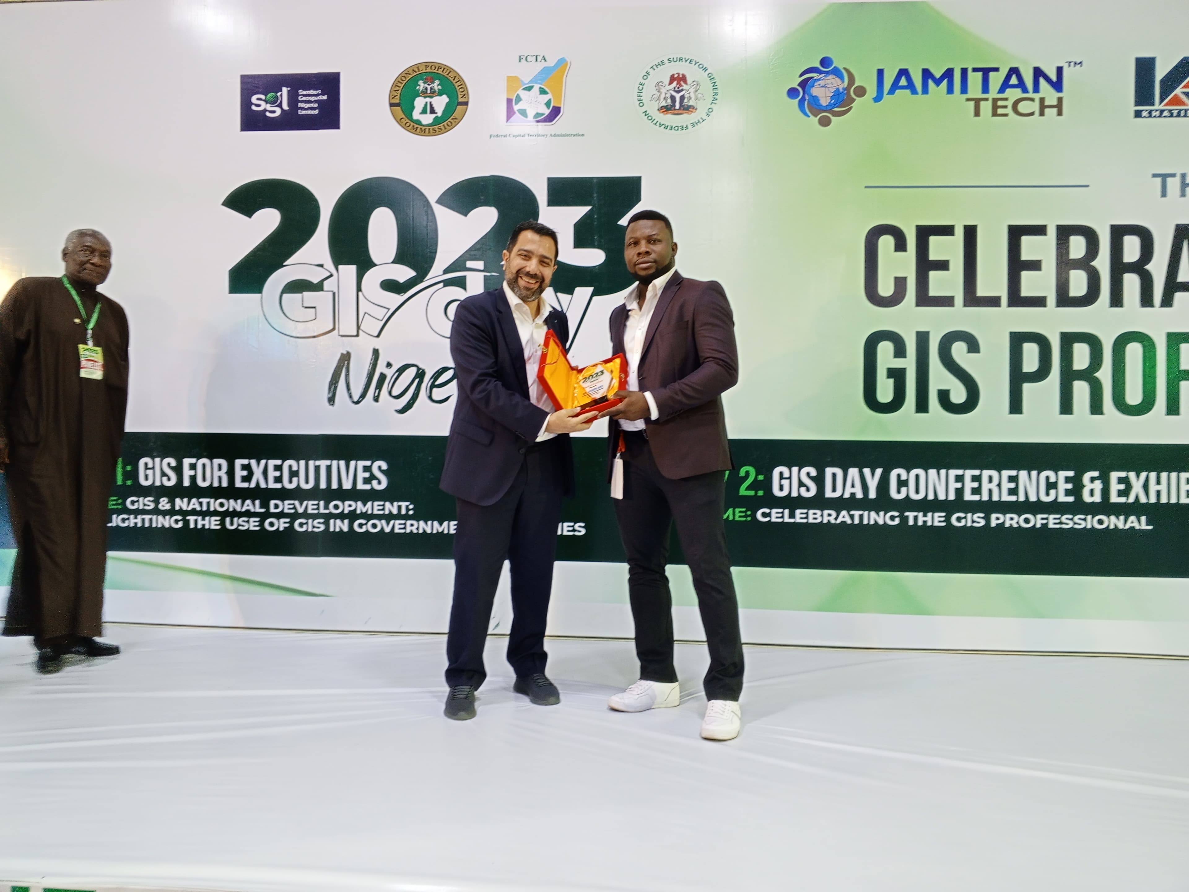
Professionals Trained
5
Core Practice Domains
2
Countries of Operation
Selected Work
Selected systems and strategic engagements.
Field Notes & Intelligence
Field Notes and Intelligence.
Thoughts, methods, and observations from the intersection of geospatial intelligence, hydrography, earth observation, data systems, and strategic execution.
Read Field NotesWhat I'm Working On
Based in BC, Canada, working in enterprise geospatial and earth observation roles within the mining sector. Also active through OEA Consults Ltd in Lagos, Nigeria, delivering hydrographic and drone mapping engagements across West Africa.